The Drive of a Lifetime in the Car of the Future!
For years and years when traveling aboard cruise ships, my wife and I have sought experiences that would get us away from the herd of other passengers. Being told how long I can spend taking pictures, and what and where to eat has never really fit with our way of life. We are independent type people! I suppose it's kind of ironic that after all that, I became a tour bus driver of all things!
Once, on a fall foliage cruise to New England, I was looking at excursions to the Bay of Fundy and the Flower Pot Rocks. This was a sight that I have always been fascinated with and I was determined to visit. I was a little disappointed to find out that the ship bus excursion to that location was exorbitantly expensive, and we would only have a little over an hour to visit.
Then with a little help from Google Maps I realized that it wasn't really that far from the port and it looked like it would be an epic drive! Sure enough it was, we rented a tiny Chevy Sonic and took an amazing 2 hour road trip from Saint John to the Hopewell Rocks Provincial Park for much less than it cost to do the ship tour. The freedom of that car made us feel like cruise ship travelers, not just tourists.
Fast forward to 2015 and another cruise, this time to Alaska. We rented a car and took the storied ride up into the Yukon via the South Klondike Highway. That trip, which I'll describe in detail a little later, changed my life. It led me to inspiration, and it led us to our current home, Skagway, Alaska. The sheer beauty of driving from sea level to the summit of the coastal mountains and the international border with Canada took my breath away. It was a memory I wanted to repeat over and over. Luckily, I made that dream a reality when I moved here full time in 2019. I want to invite you to share in that same experience that I had on my first ride up in 2015.

Start your independent adventure of the South Klondike Highway with the rental of an all electric Ford Mustang Mach E from Klondikecars.com. This amazing and desirable electric car will surprise you with its smooth handling and impressive acceleration. The perfect car to explore and have fun doing it. Slip into the driver seat, buckle up and put your ship in the rearview as you head North.

The town of Skagway itself is often described as the "Gateway to the Klondike" Between 1897-1900 over 75,000 men and women passed through this town in a desperate 700 mile race over frigid mountains and perilous rivers to reach a small tributary of the Yukon river called "Bonanza Creek" and the Klondike Gold Fields. Only the most intrepid 30% ever reached their destination. If only they knew that 125 years later the trip could be made by a new fangled electric horseless carriage, their minds would have been blown!

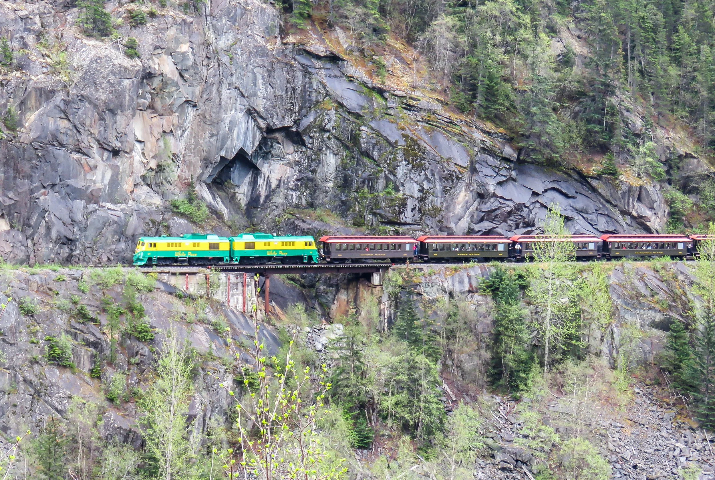
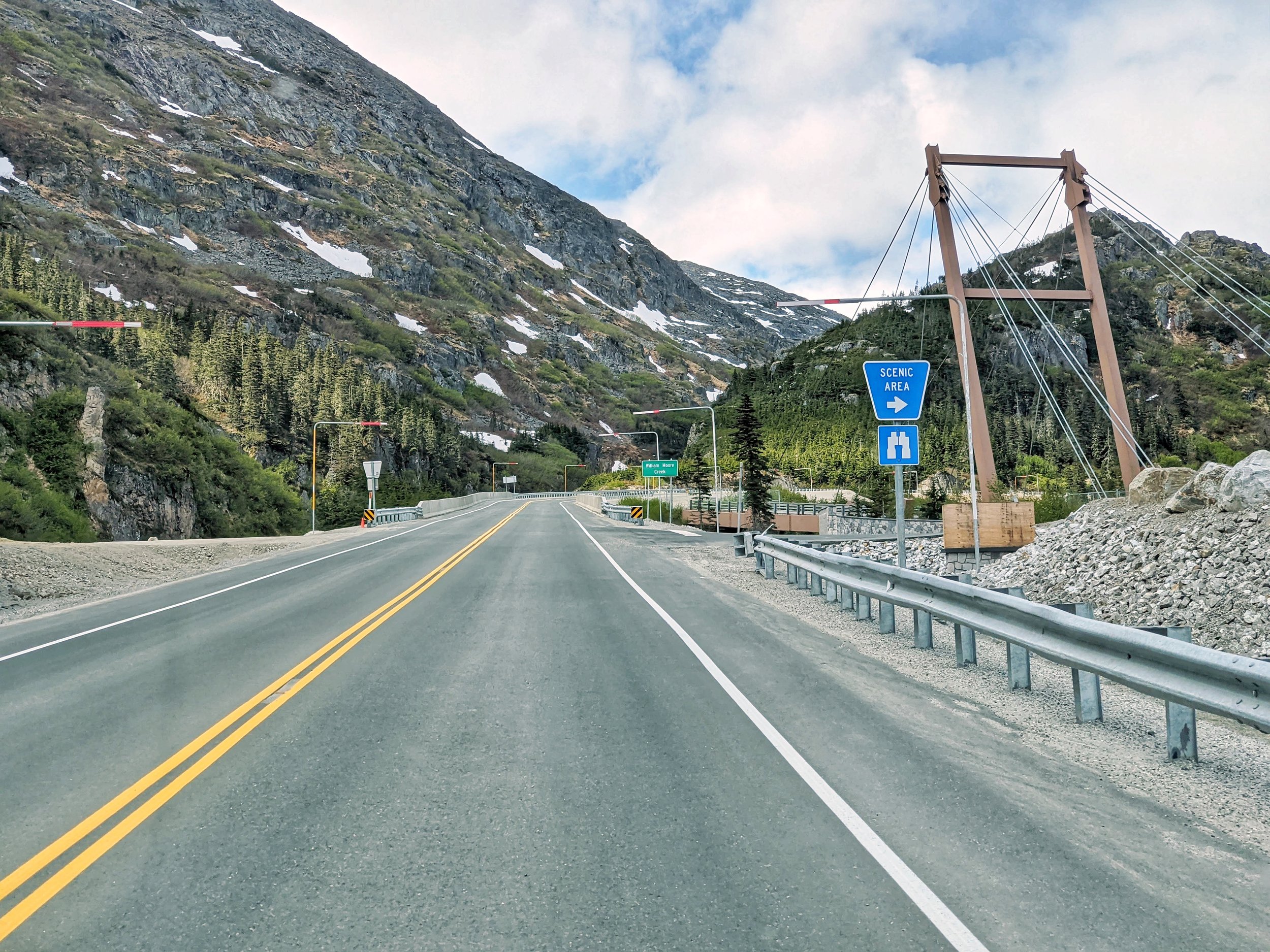
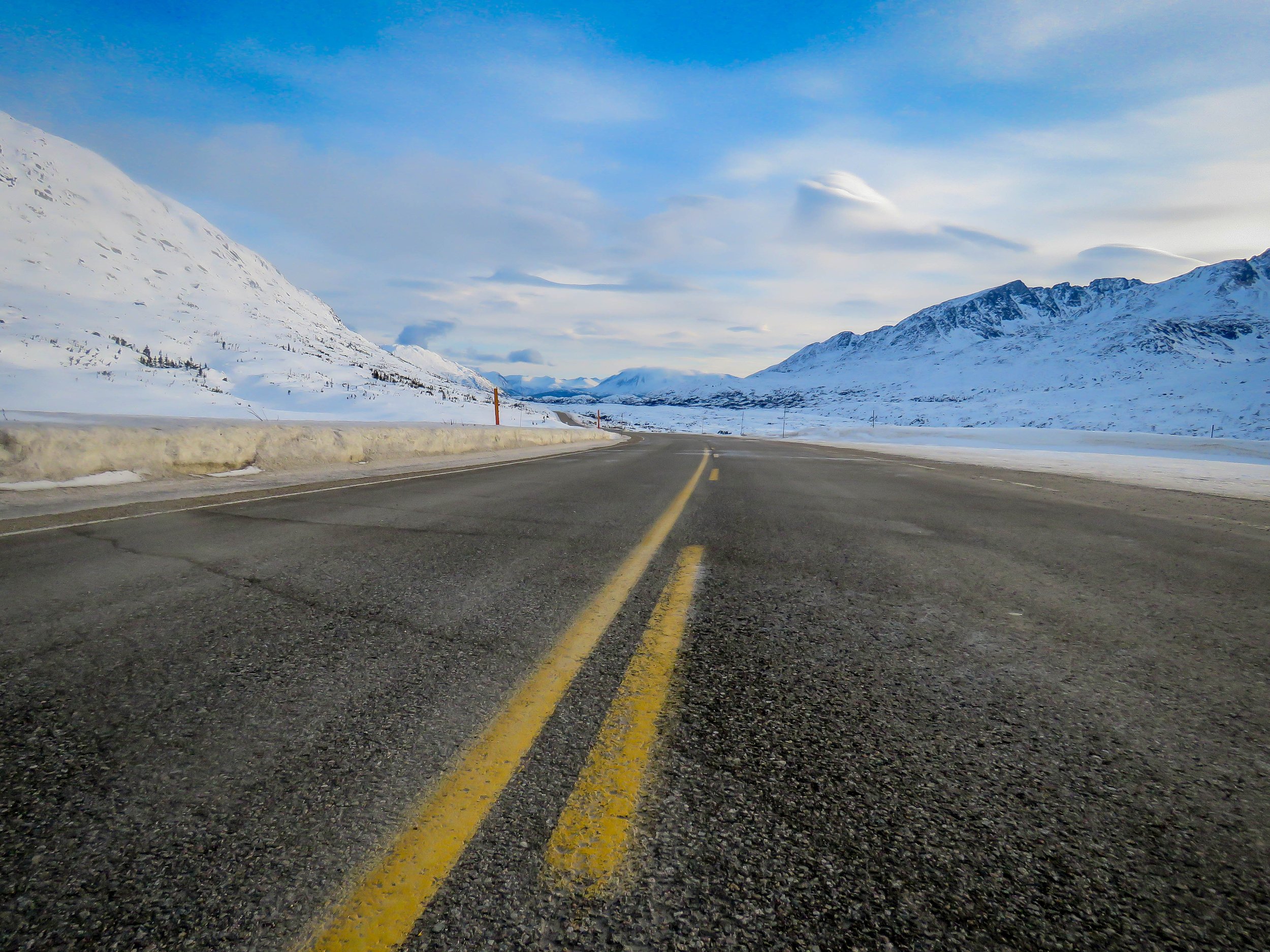
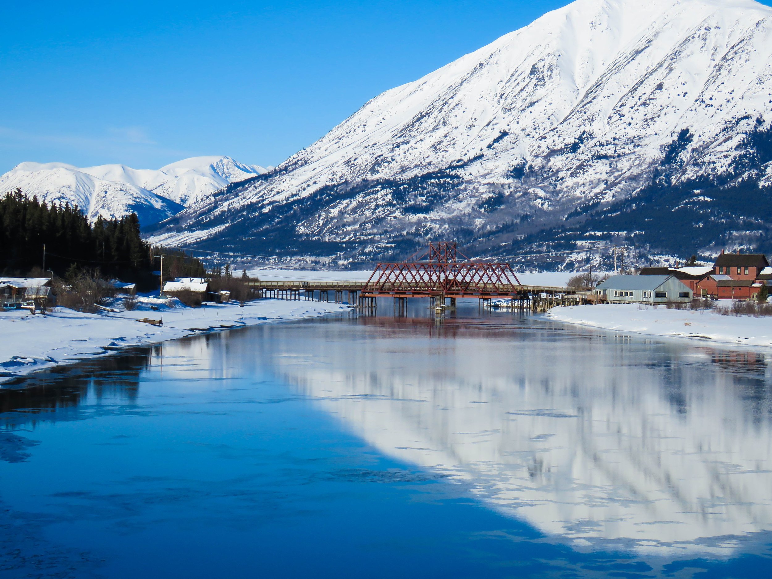
The first part trip from Skagway to the International Border will ascend from sea level to the summit in approximately 15 miles. Between mile 5 and 9 there are multiple pull offs on the right that overlook the Denver Glacier, the White Pass and Yukon Route railway tracks, and the magnificent Pitchfork Falls. A little farther up you will come upon a strange looking cantilever bridge and a scenic viewpoint. This is the home of the William Moore bridge. Named after the founder of Skagway this was the original bridge that linked Skagway to the rest of the intercontinental road system. In service continually from 1978-2019 the bridge eventually became too costly to maintain and was replaced by the modern reinforced concrete bridge that you cross today. The parking area makes for a great view, but if you go just a little bit beyond the bridge there is a big pullout with amazing views of the bridge itself and the mountains below. Be sure to set the parking brake, it's a bit steep!
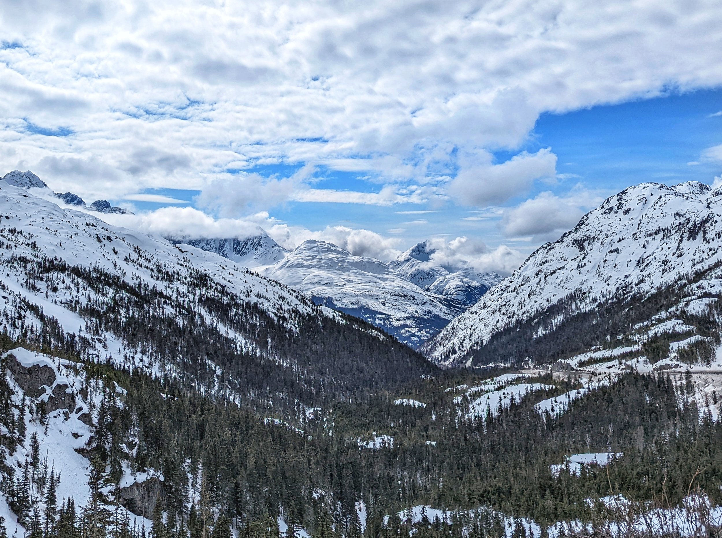
Making your way up a little more you notice that the landscape begins to change dramatically. you are entering a sub alpine tundra! The trees begin to diminish in size. Up here, only the strongest can survive. They are all but buried by snow in the winter and need the long summer days to grow just the tiniest bit. They may look like saplings but if these trees could talk they would tell you the stories of the miners that forged this path so many winters ago.
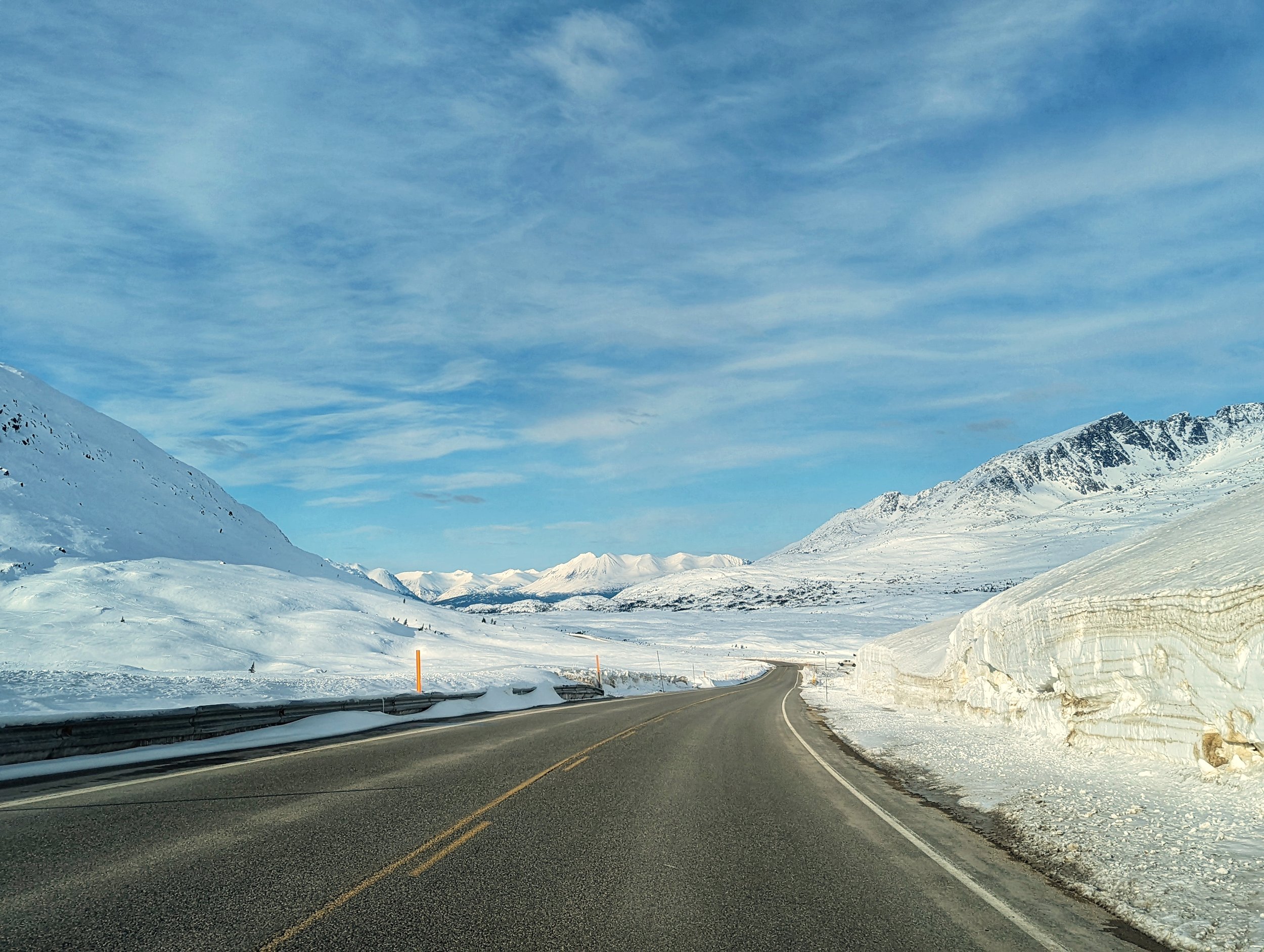
At around mile 15 you will be crossing over the international border into Canada (and the Welcome to Alaska Sign)!

So, where are the border patrol agents? I don't know about you, but I wouldn't want my office 3292 feet on top of a windswept mountain that regularly reaches temperatures of -40 degrees. You'll find our Canadian friends about 5 more miles away at their slightly more sheltered guard shack in Fraser, British Columbia.

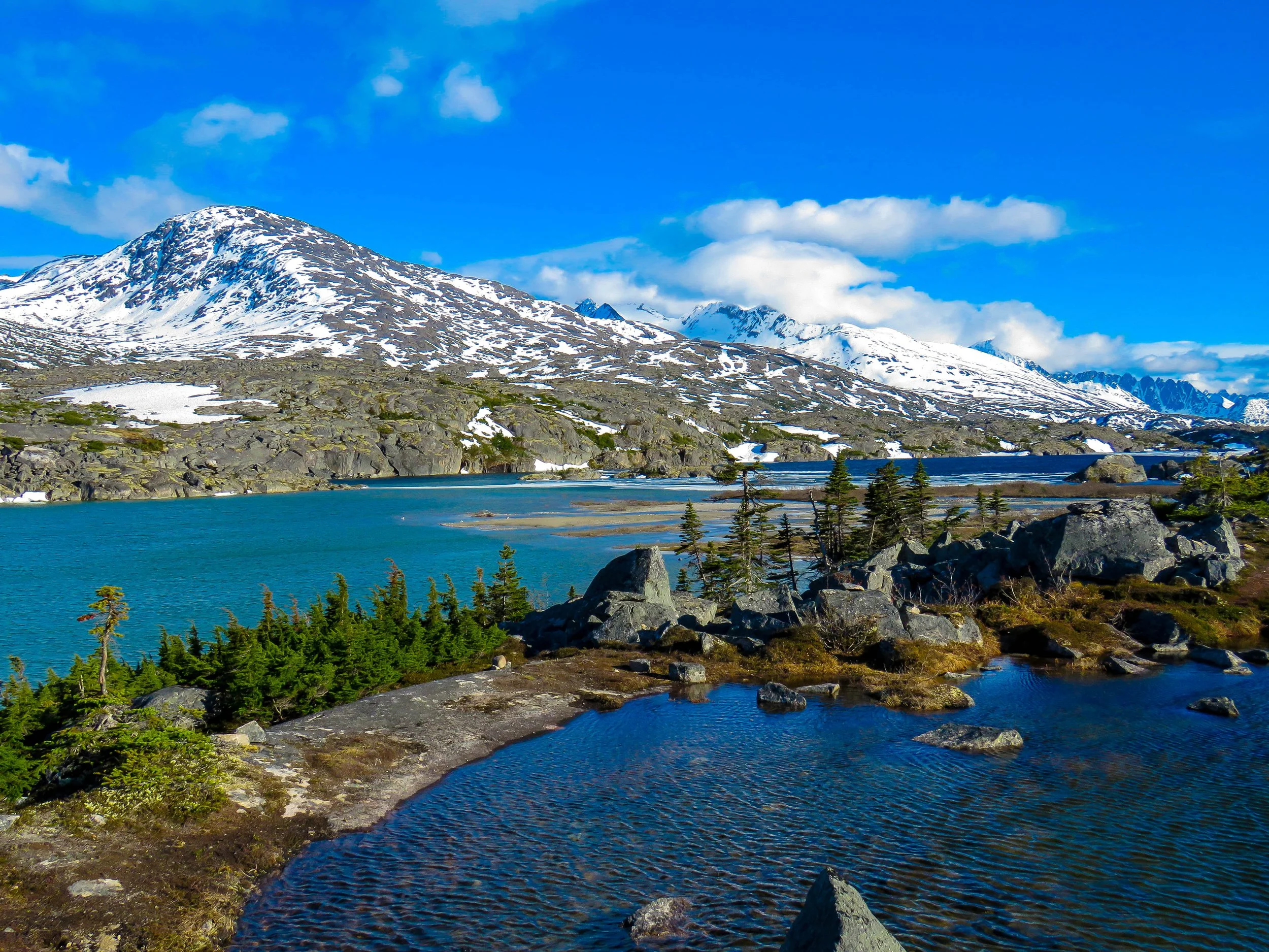
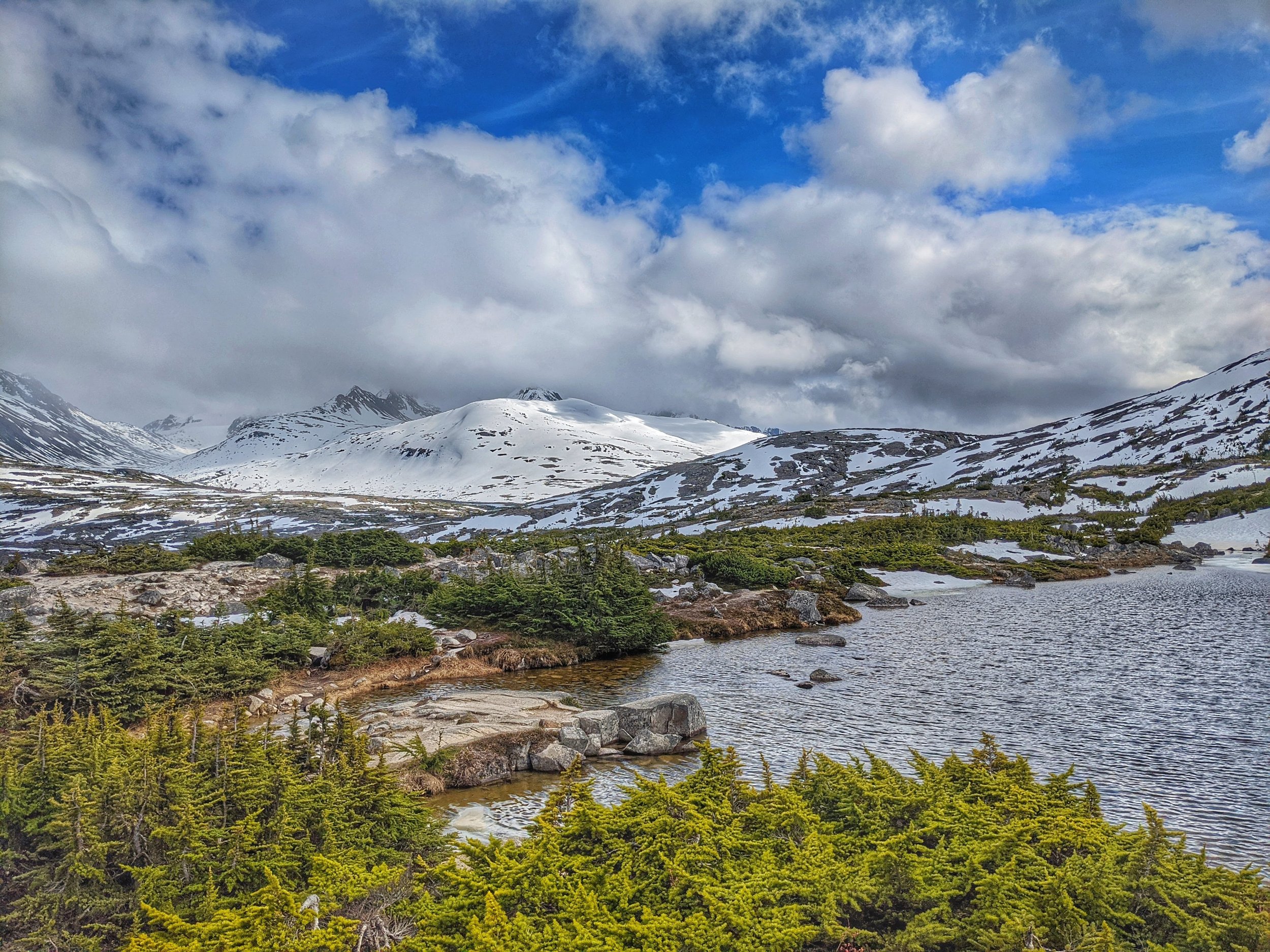
Between the proper boundary line at the summit, and the checkpoint, you will encounter what is known as the "Tormented Valley''. Strewn with boulders, ponds, lakes and rivulets, this otherworldly landscape will draw you in and make you use the bulk of the memory cards you bought for that fancy camera of yours. Use the freedom of your car rental to give you the time to explore this area. There are plenty of pull offs here that can be used to go out and explore a little. In winter, this area is used heavily by snow machines (snowmobilers for all of you from the lower 48) and even heli-skiers that use helicopters to reach the highest peaks and then ski back down. Summer brings plenty of opportunities for hiking and exploring but be careful and watch your footing.
Hop back in your car and check in with the agents at the border station. Have your passports ready, your ArriveCan app complete, and your vaccine cards available. Once you make it through, it’s time to head to the Yukon!
The dividing line between British Columbia and the Yukon is at 60 degrees North Latitude so we’ve still got a little exploring to do. Continue on for another few miles and you’ll come to a large clearing on the left. This is the point where the White Pass railway crosses the South Klondike Highway. At this pullout you will find a set of bathrooms/ outhouses and a few signs explaining the significance of the area. This stop is known as “Log Cabin”. The original White Pass trail that led from Skagway to Bennett Lake passed along this very path. 7 miles down the tracks is the Northernmost tip of Bennett Lake. The point at which the miners on the Gold Rush would transition from an overland trail to an over water journey to the gold fields. “Log Cabin” was a camp, or resting place used to regroup from the push over the steep climb of the coast mountains that you just drove over.

Although easily done today, the pioneers of yesterday had to contend with all manner of hazards, some natural and some man made. To ensure that a mass casualty event did not occur, and to protect the interests of Canada, a Canadian Mountie names “Sam Steele” enacted a policy in late 1897 that any man or woman choosing to cross the border and venture North to the gold fields of Dawson City had to bring with them enough provisions to survive a full winter season. When all said and done this checklist equated to over 2000 lbs of supplies - “A Ton of Goods!” Considering that the average stampeder would carry 50-75 lbs of gear on his back at a time, often employ other men or natives to help him, or even hire teams of horses to help him it still often took 20-30 round trips from Skagway to Bennett to complete the task and satisfy the requirements. It’s no wonder the camp of “Log Cabin” arose to give men a little relief before continuing the final 7 miles.

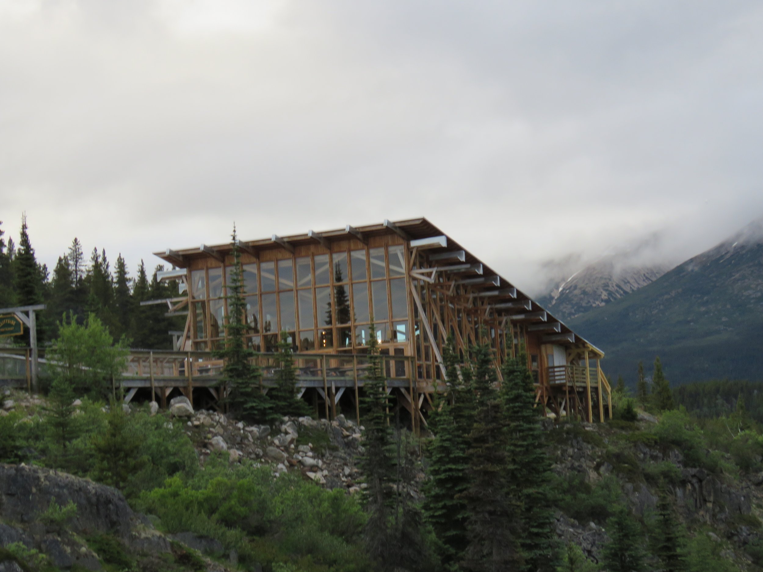
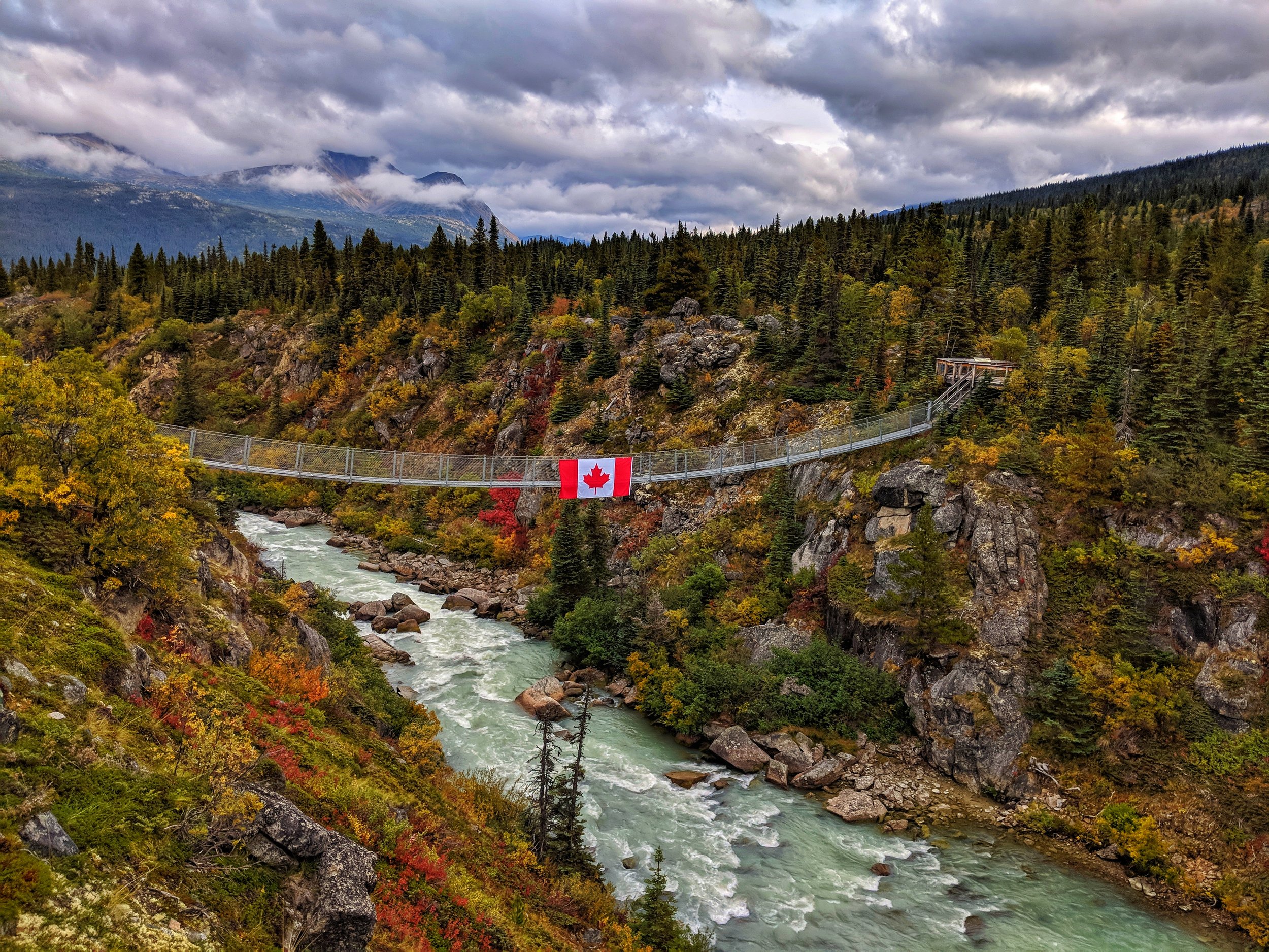
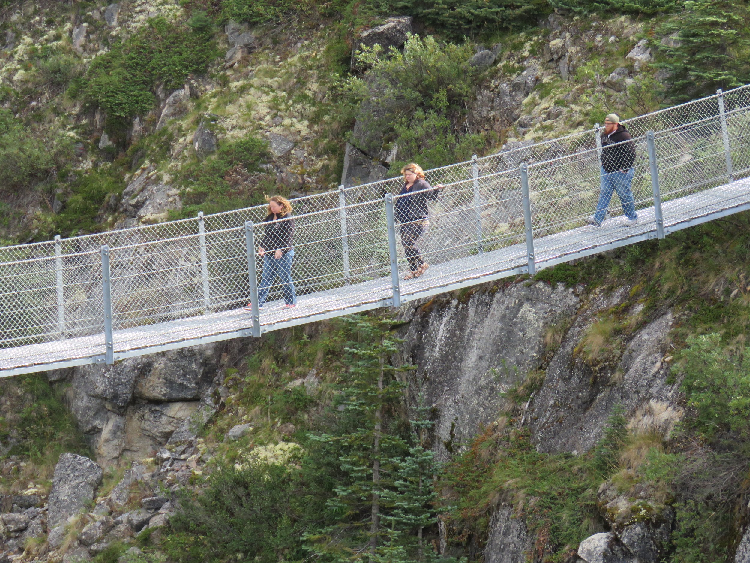
Let’s head a little ways up the road and make a pitstop at one of my favorite places along the journey, the Yukon Suspension Bridge. Just a mile and a half from Log Cabin, the Yukon Suspension Bridge is a really cool place to get out and explore. The admission charge is $18 and gets you access to this amazing attraction. Experience the thrill of swaying 65 feet above the raging rapids. Feel the exhilaration of the fresh mountain air and vast Canadian wilderness. Enjoy the excitement of navigating the rapids as you watch rafters maneuver the rollercoaster canyon below. This is the call of the wild. This is where your wilderness adventure begins. Are you ready? The welcoming staff will greet you with their exceptional hospitality, peruse the outdoor museum and learn more about the gold rush and the history of the First Nations that called this area home. Head over to the cafe and get some of their famous bison chili to warm up and don’t forget to hit the gift shop on the way out!
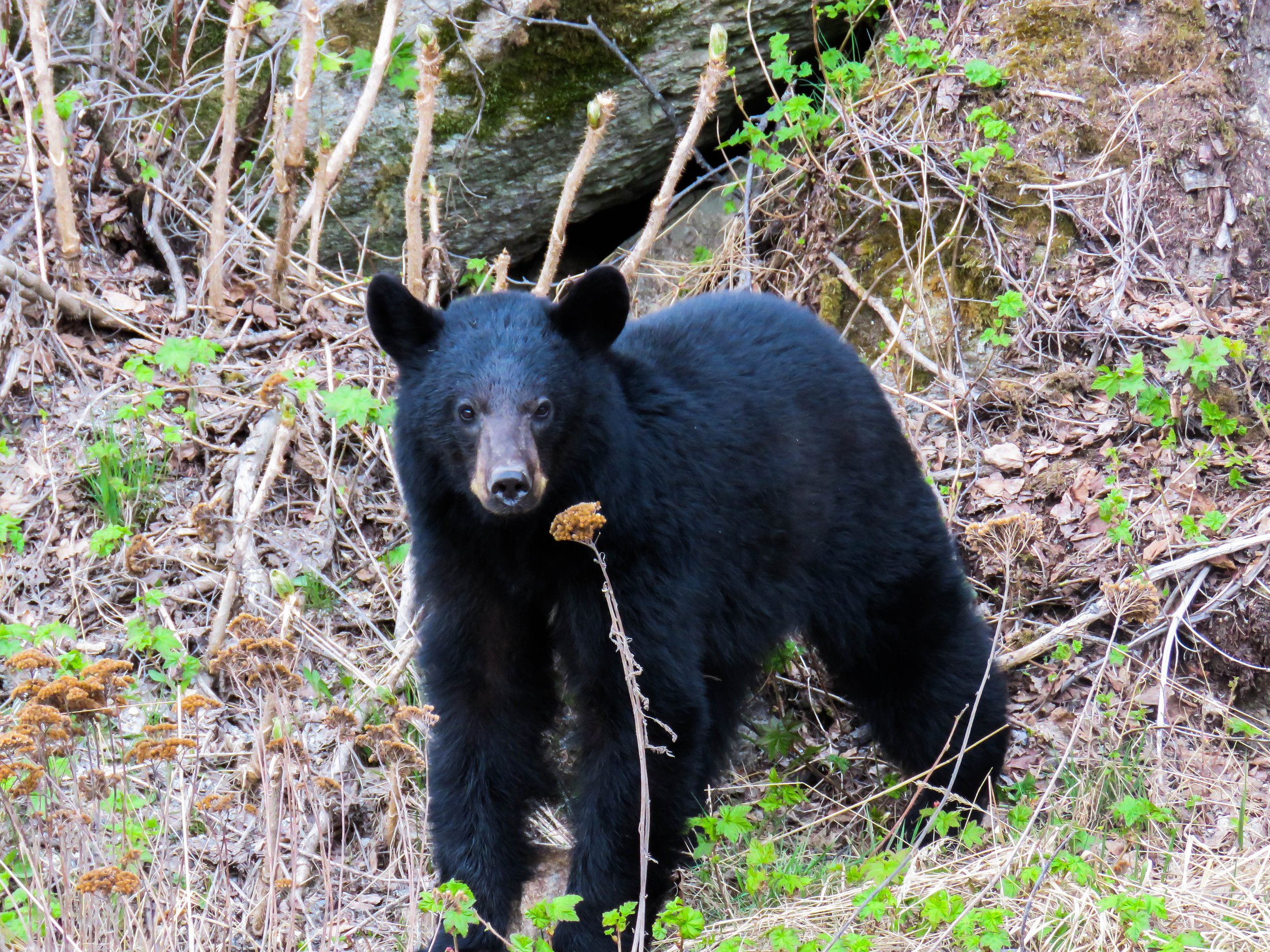
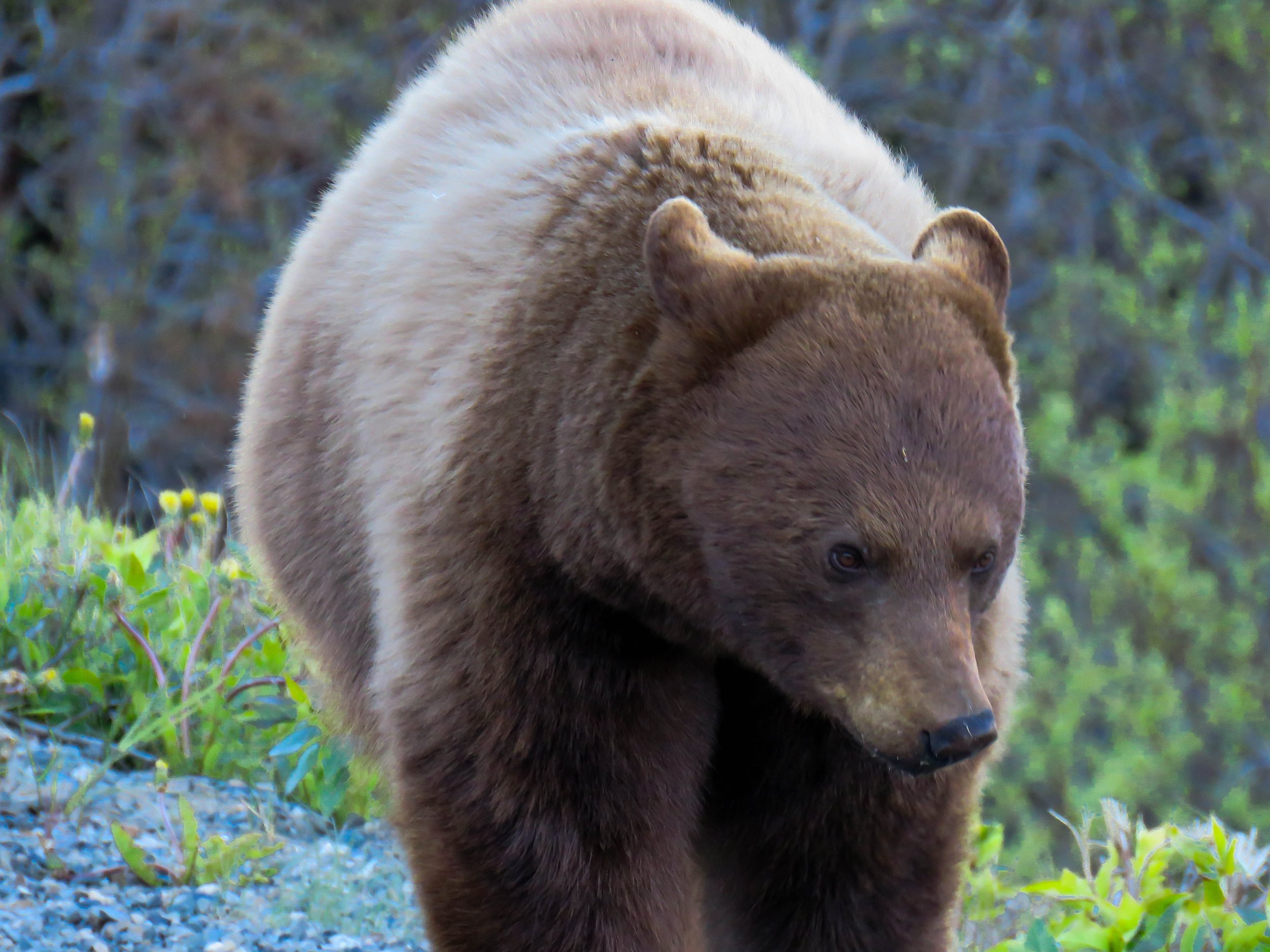
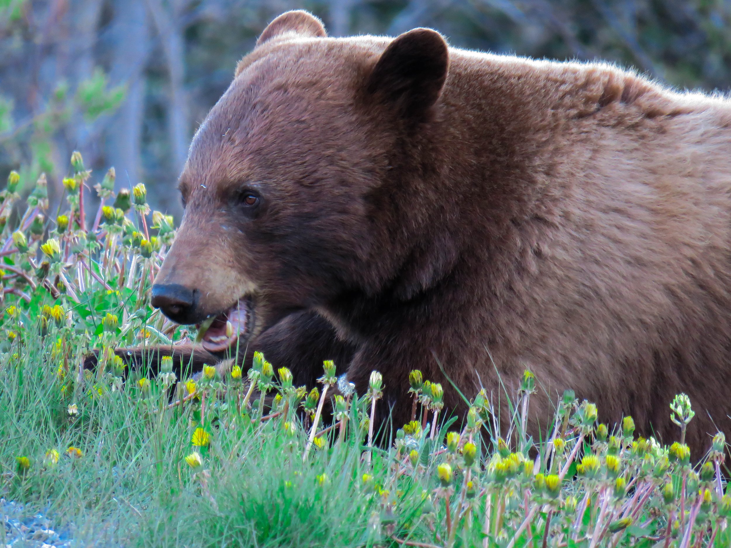
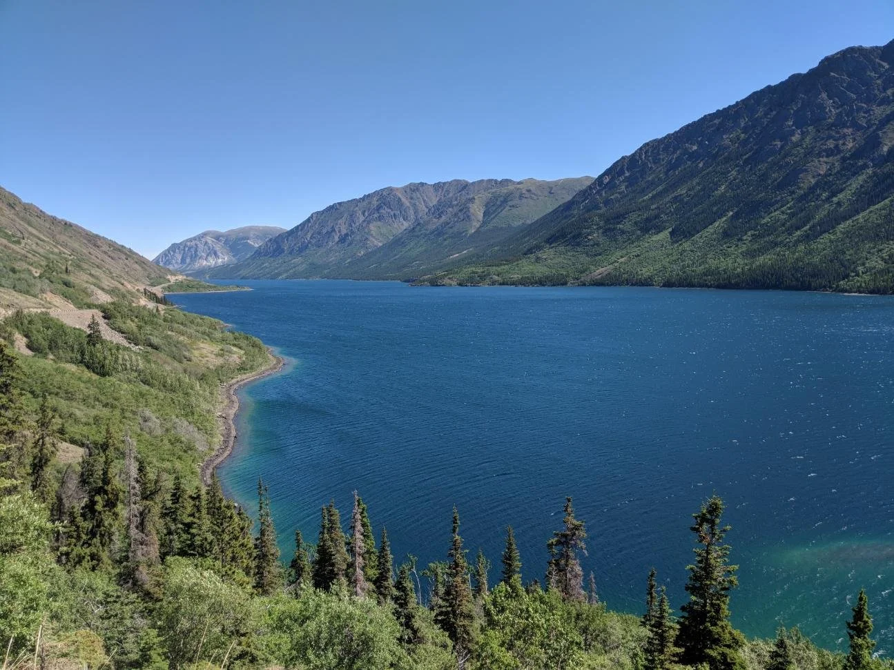
Leaving the bridge behind, you’ll now head toward the pristine Lake Tutshi (pronounced TOO-Shy) You’ll travel almost 10 miles along this crescent shaped lake. This deep glacially carved lake is at an elevation of 2320 feet and has a maximum depth of 646 feet! It is an amazing fishing lake and often produces lake trout that are 5-40 years of age although you will rarely see larger boats as there is only one rudimentary boat launch. There are plenty of places to pull off here and enjoy the views. Also from May-September be on the look out for bears as they often patrol the roadsides looking for dandelions and other edibles. Whatever you do don’t be tempted to feed them or lure them closer. “ A fed bear is a dead bear” as they will often get habitualized to people and become a nuisance or a danger. This never ends well in the long run for the bear.

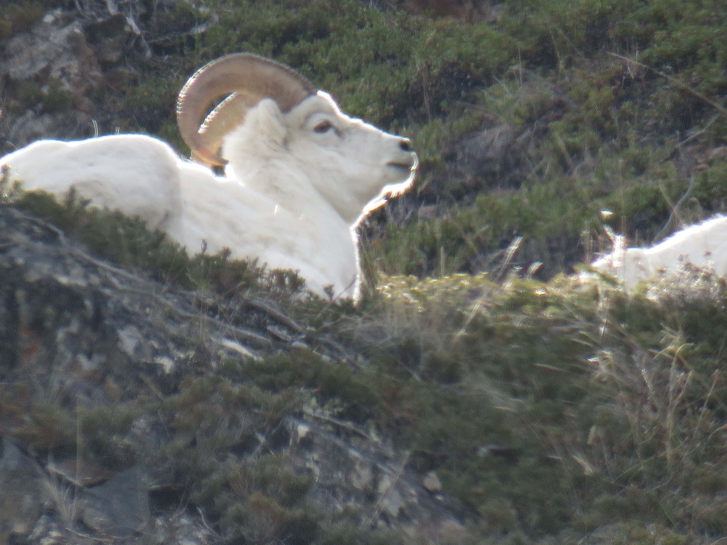
Now it’s the time you’ve been waiting for! We’re going to reach 60 degrees North and the Yukon border! The line is marked by a giant YUKON sign on the right. There is a large pull out here that is usually full of buses and people, swing by and take a picture on your way back if it's too crowded. You’ve got a car! You can do that! Don’t forget to take a look at the mountain to the left of you! There are often mountain goats spotted in this area!

Just behind the sign you will encounter Lake Tagish. Another gem in what is known as the “Southern Lakes Region” of the Yukon. Lake Tagish is divided into two arms, the “Windy Arm” , and the “Taku Arm. You’ll be driving along the Windy Arm today. The overall length of this massive lake is a whopping 62 miles and has a surface area of 139 square miles. Continuing along the shore you will see a large wooden structure. This is the former ore chute used to load barges filled with heavy silver, nickel, zinc, and copper ore mined from the Venus Mine high on the adjacent cliff face. Please don’t park in the road or jump over the guardrail to get a picture, the structure is unstable and not safe to walk around. This whole area around the windy arm of Tagish Lake was explored for mineral and ore extraction in the early 1900’s. The entrepreneur John Conrad saw the potential of mining this area after the installation of the White Pass and Yukon Route railroad. Ore could be loaded onto a barge, brought to the town of Carcross (your next stop) and then transferred to the train for transport to Skagway, then shipped out for processing. He created multiple mines across the area including Montana Mine, Big Thing Mine, and Mountain Hero Mine. Many of them were linked by an aerial tramway that also led to the defunct town of Conrad. Eventually the high transportation costs involved in moving the ore made the operation unprofitable and the mines and town closed. Look closely a little beyond the ore chute and you can still see a post of the old tramway system.
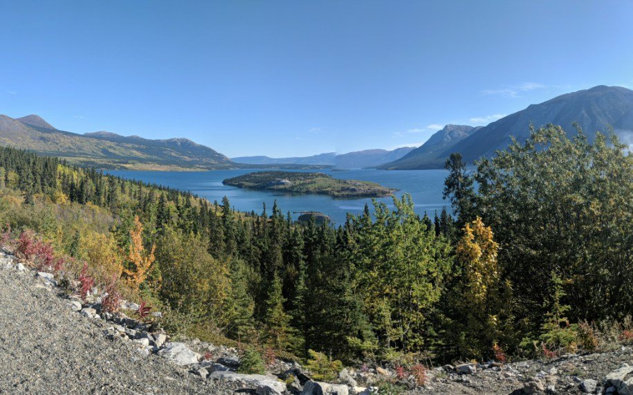
Time to head to the town of Carcross, but first make one more picture stop at Bove Island. This large pull out provides outstanding views of the island in the distance. It’s one of my favorite viewpoints of the drive. Here’s a tip, carefully walk toward the guardrail and keep to the right as you walk along it. Go beyond the large bush and you will have an unobstructed view of the Lake and Bove Island.
Continue North and you will notice that the speed limit decreases as you approach Carcross. As you cross the bridge over Nares River, look to the left and you will see the original White Pass Carcross swing bridge.
Now turn left at the metal caribou sculpture to enter the town. Find a place to park and explore! The first brightly colored totemic painted building is the visitor center. Stock up on knowledge and even get your passport stamped with a Yukon stamp! Visit the Watson General Store; this is the longest operating store in the Yukon AND the former White Pass rail station.
Pro-tip: Grab an ice cream cone from the General Store (and a Wunderbar if you have never had one!)

For an extra special view, head down to the post office and take the path to the right of the building. This will take you on a path to a pedestrian bridge that provides the best opportunity to see the old rail bridge!

Looking for something to eat? The Bistro on Bennett is the go to place for lunch. Once you’ve had your fill, head back to the car. You still have a few more places to see before your adventure is over!

Exit the town the way you came in and make a left to continue North, again watch your speed as you’re in a populated area. Shortly after leaving Carcross you will come upon one of the most unique sights in all of the Yukon, a desert! The Carcross desert affectionately considered the “World’s Smallest Desert” is the former lakebed of an ancient alpine lake. Glacial silt is blown from the shores of nearby Lake Bennett and settles in the old lakebed and forms this unique pseudo desert. Grab a few pictures and keep going!

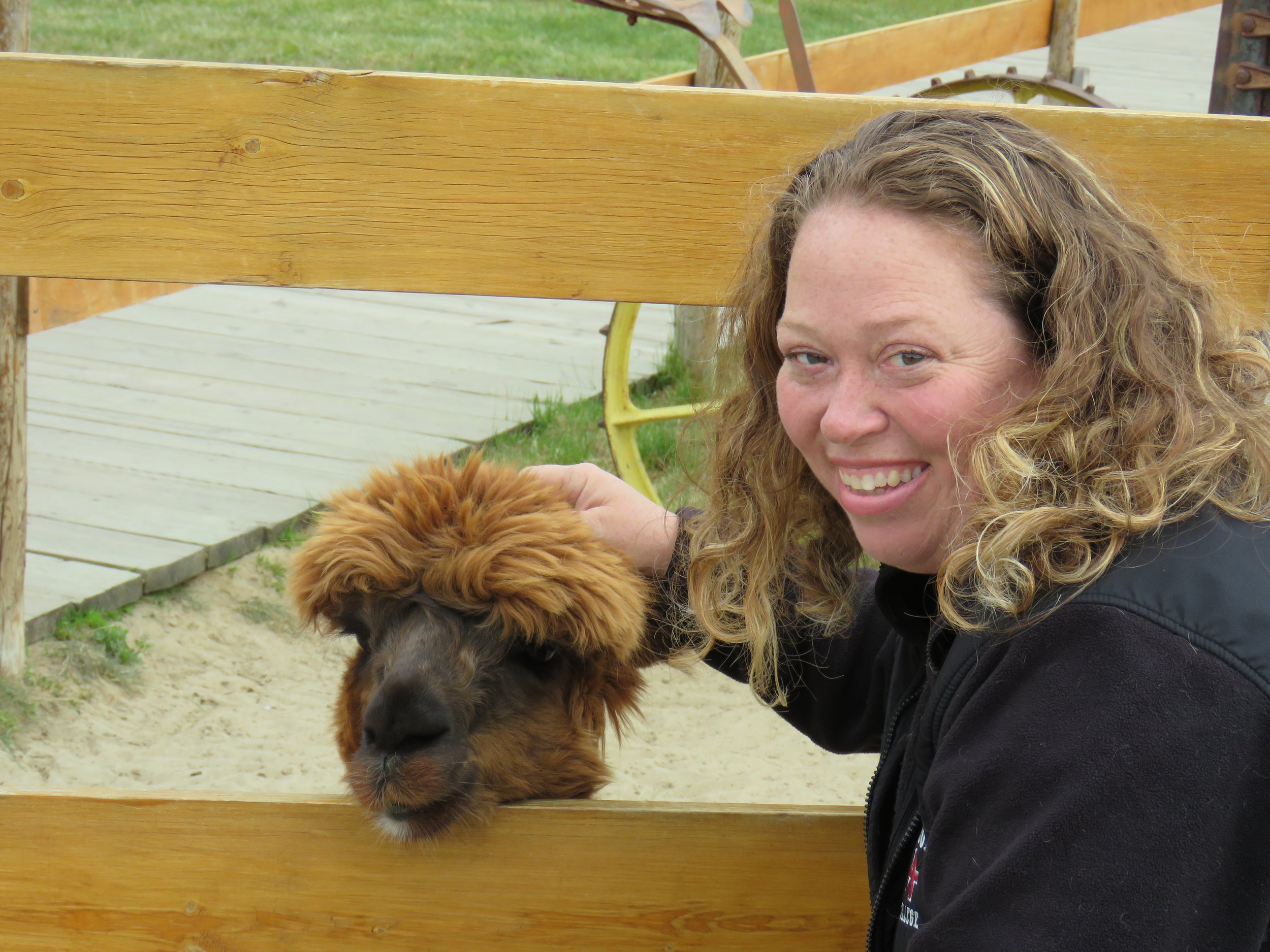
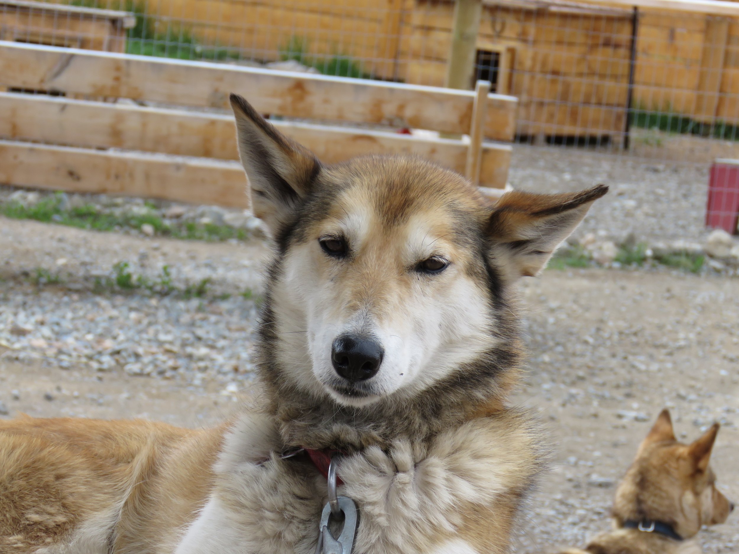
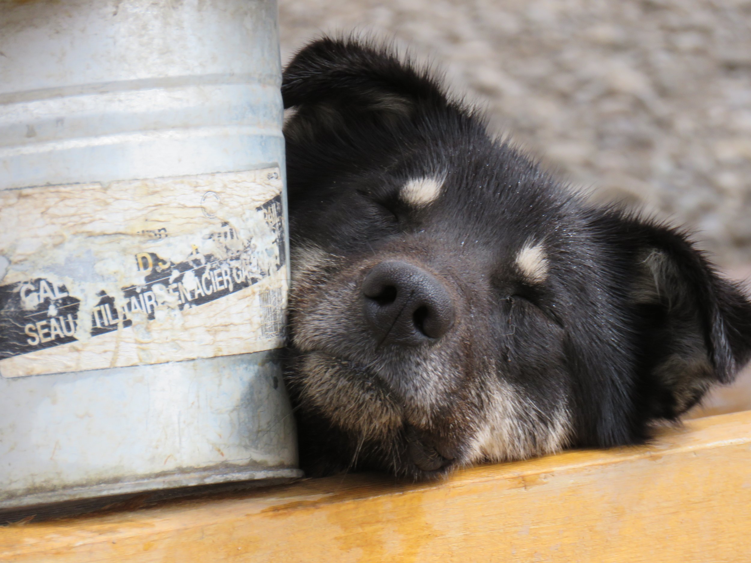
Time to visit Caribou Crossings. This roadside attraction is a favorite of the many bus tour passengers and features a wildlife museum, a gift shop, and husky sled dog tours. Also, they often have husky puppies you can visit with!
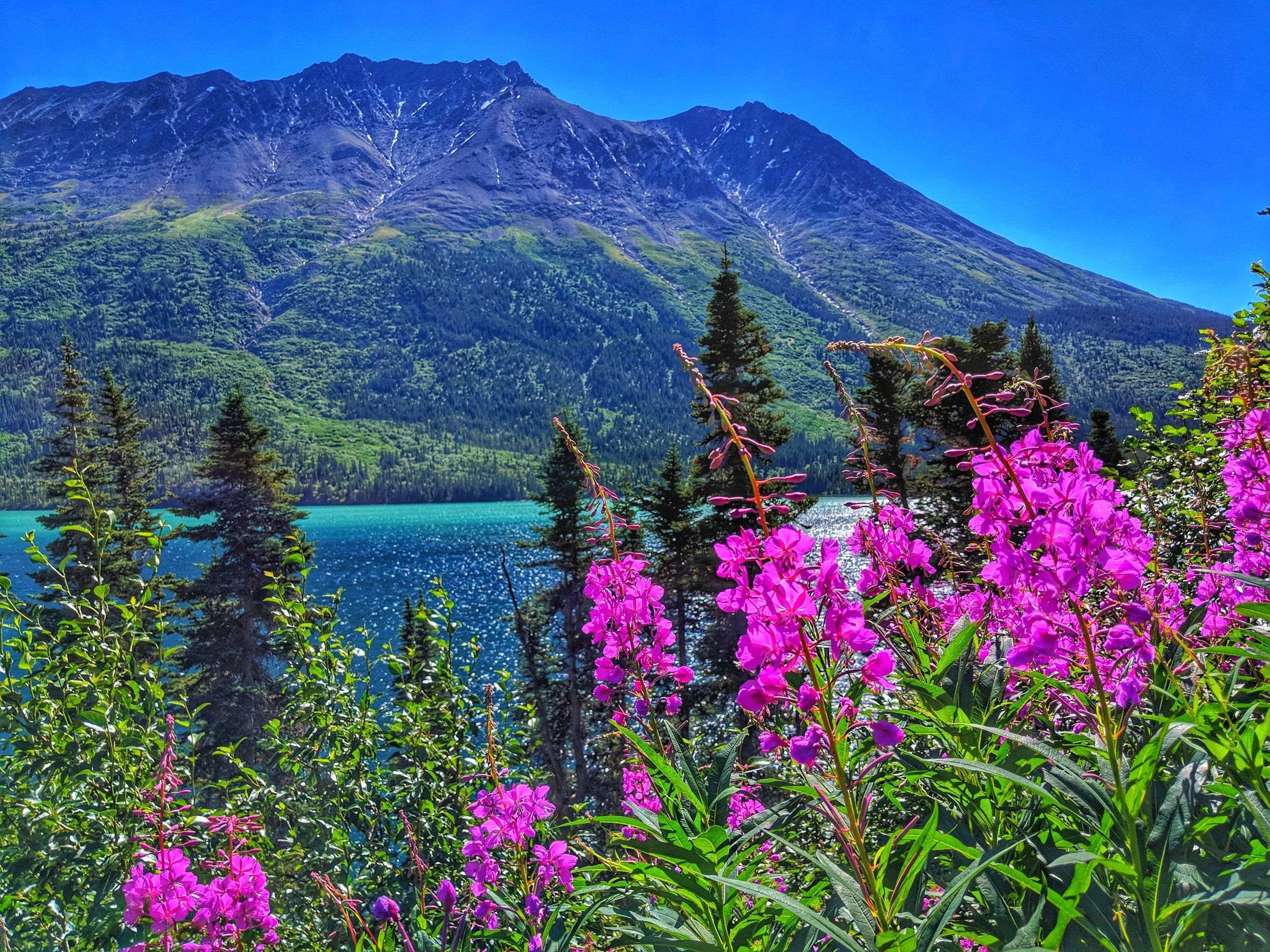
Now it’s time to visit Emerald Lake. You’ve heard about it, maybe even seen a picture, but none of these can do it justice. Just a 7 minute drive from Caribou Crossing you will find a large pull off on the left. Park the car and then feast your eyes on the beautifully green hued lake. The bottom of the lake is coated in a layer of “marl” , a calcium rich white silt. The water in the lake is just the right depth to reflect back only the greenish hue that you see from above. Take a moment to soak up the views and revel in the experience before heading back the way you came to Skagway.

You've now experienced the drive of a lifetime. When I visited that first time back in 2015, I was awestruck by the solitude, vistas, and uniquity of this land. I knew in my heart that one day I would be back. Not only did I come back, I made this land my home. Enjoy the ride!
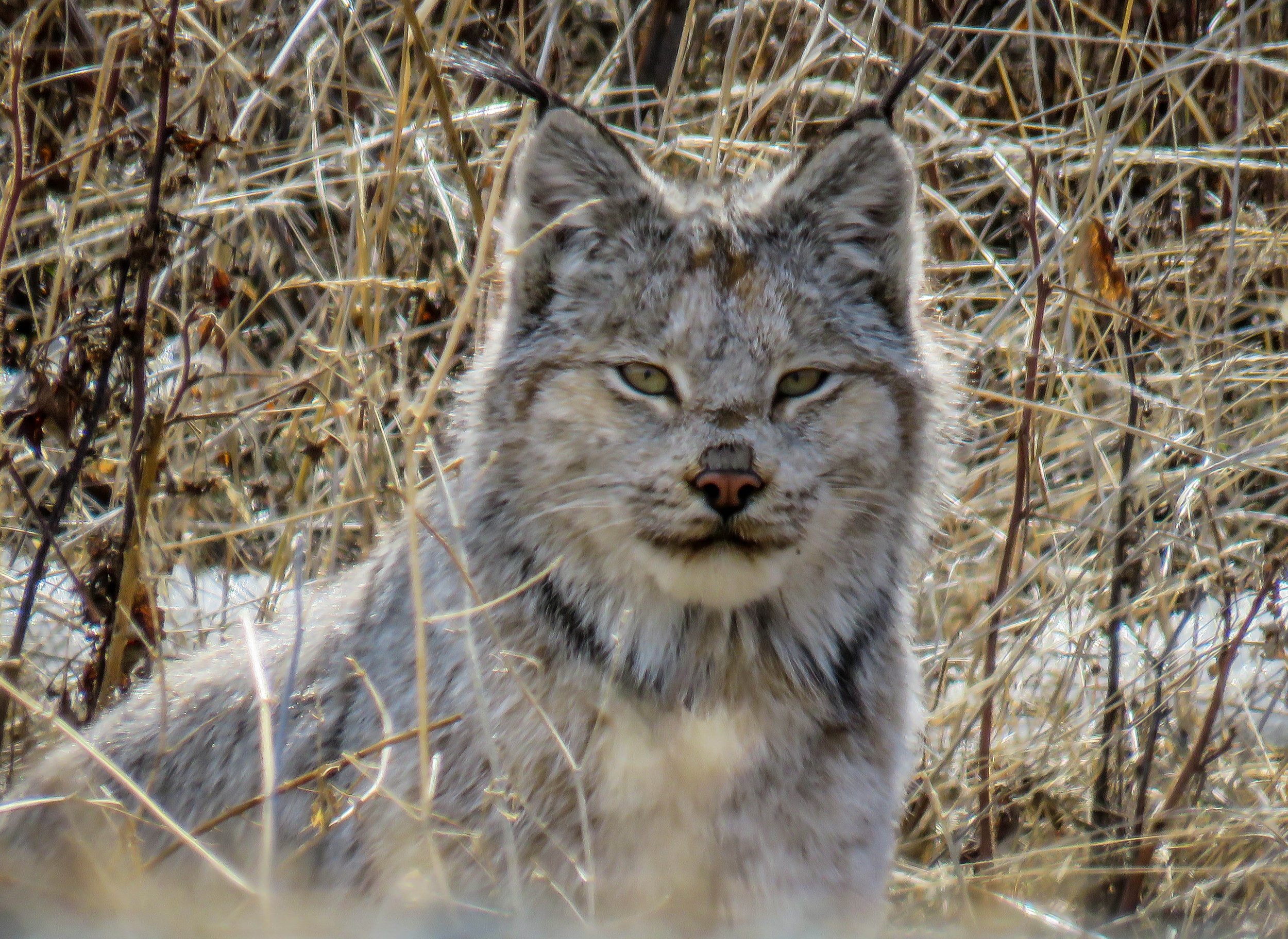
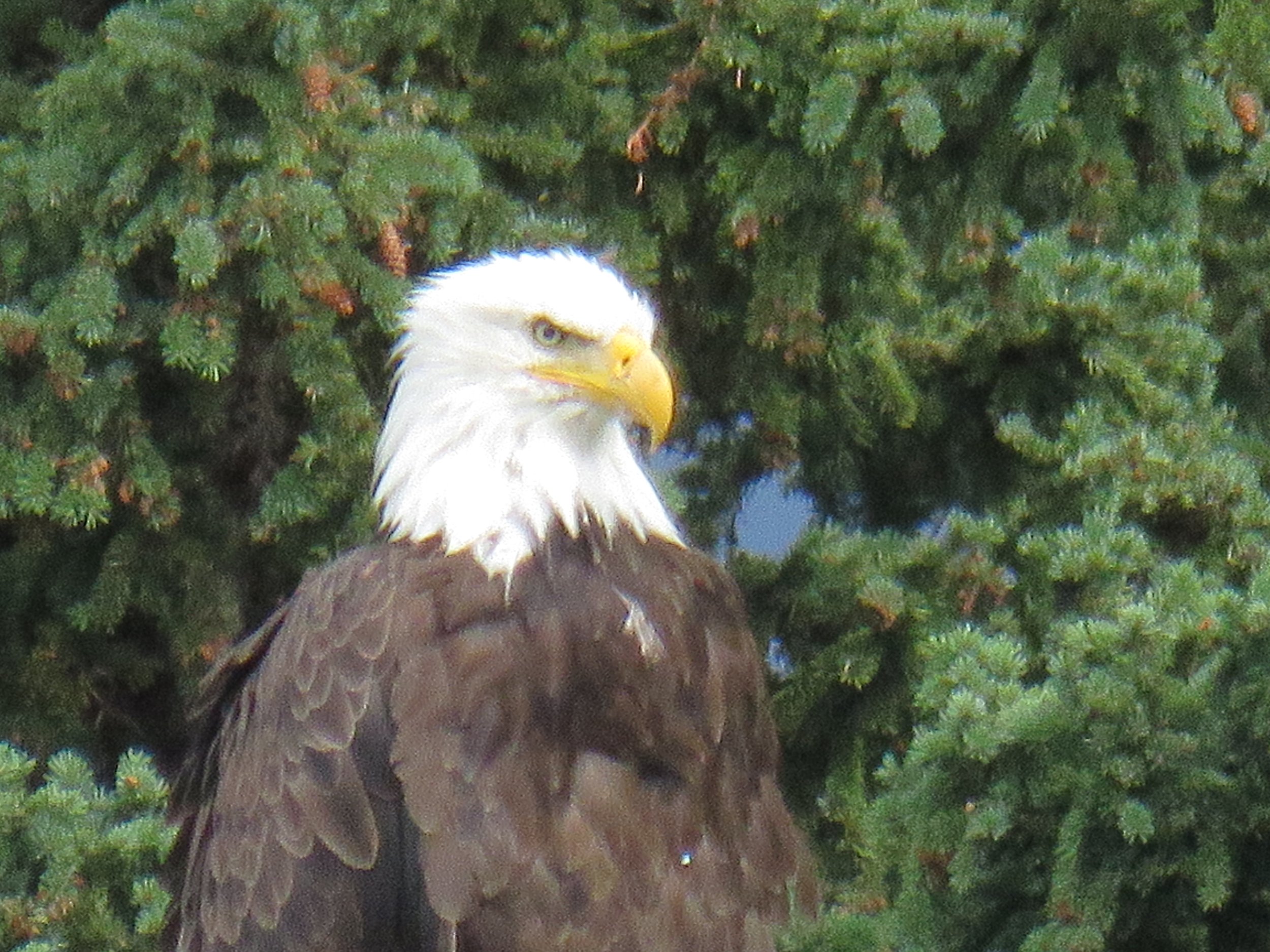
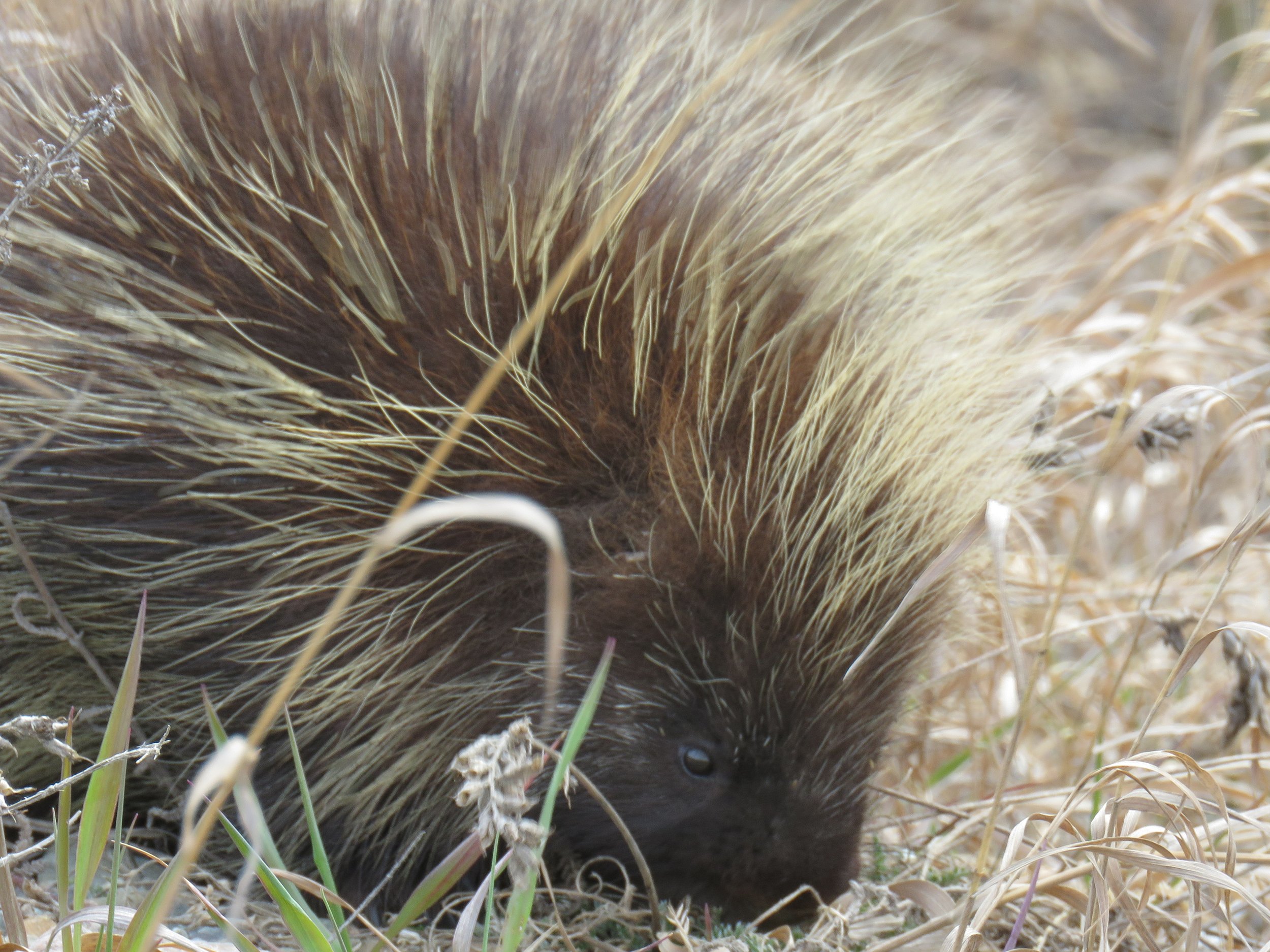
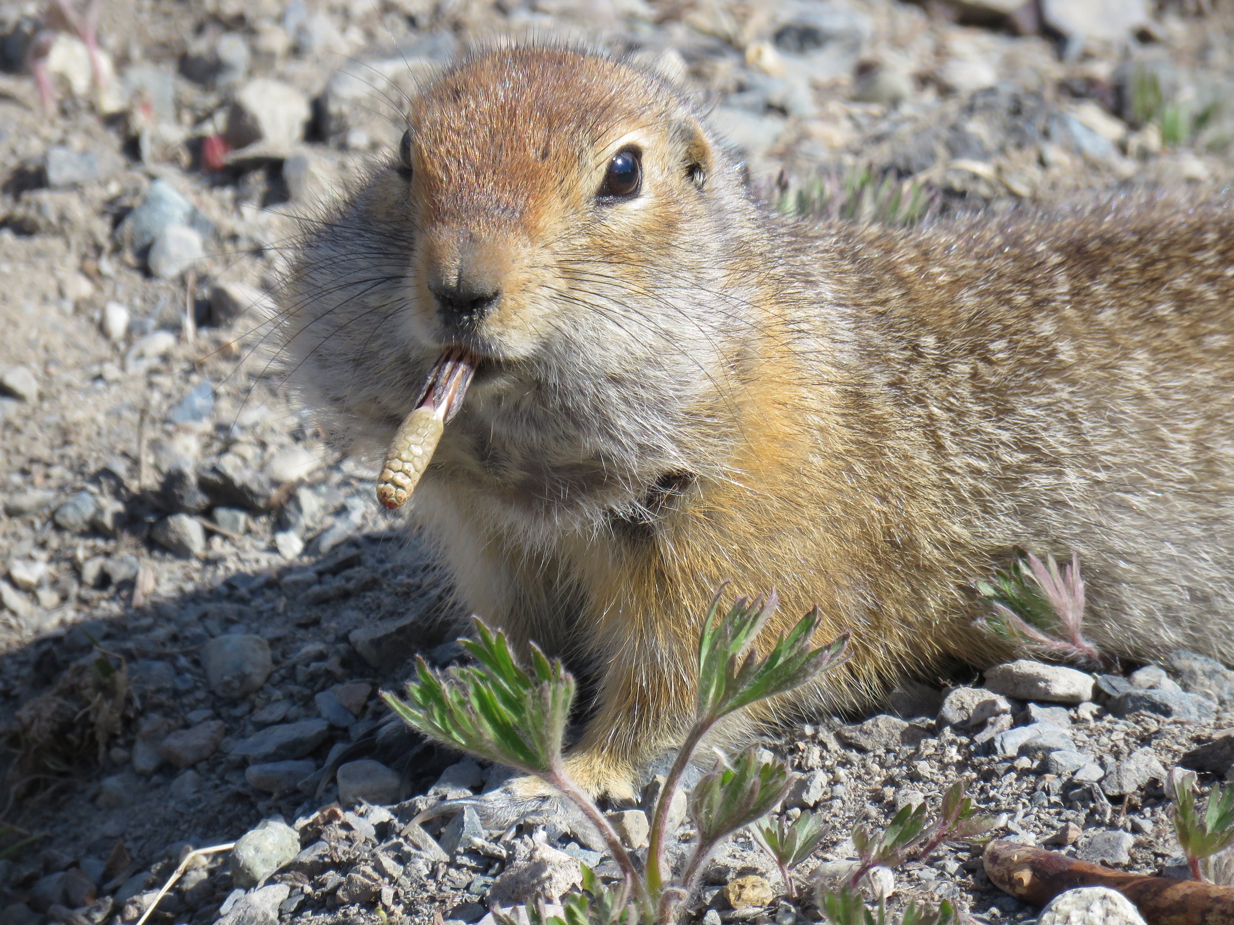
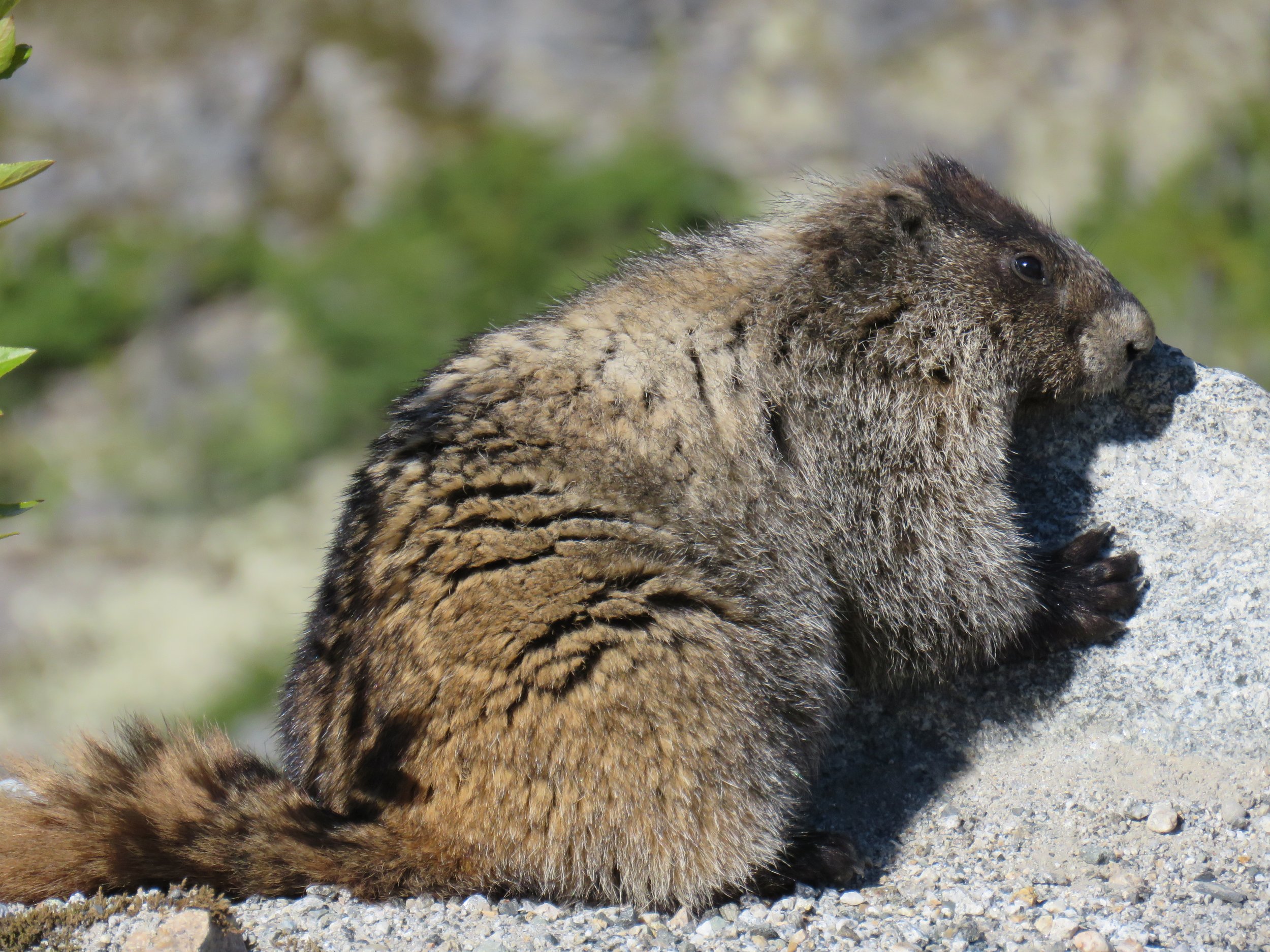
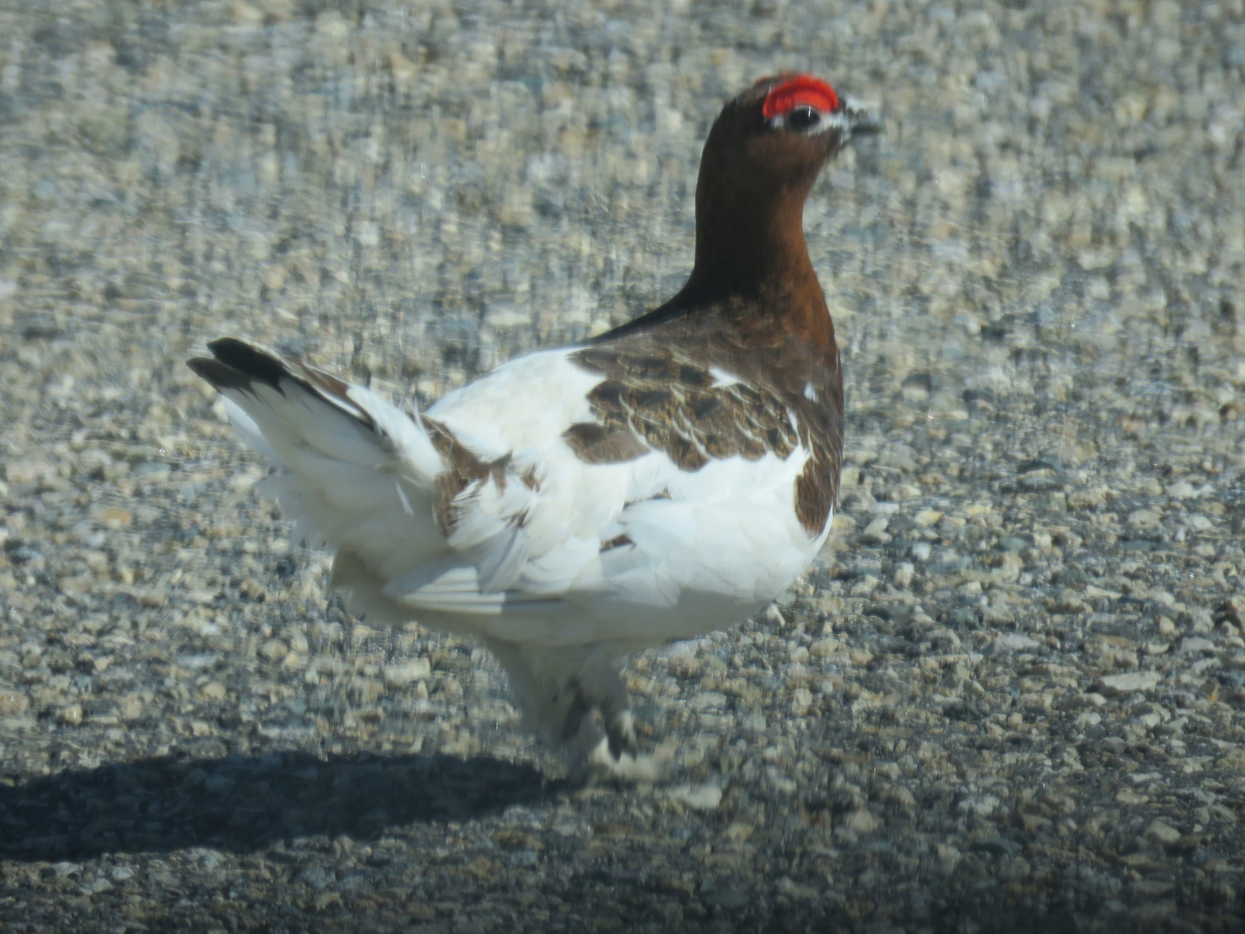
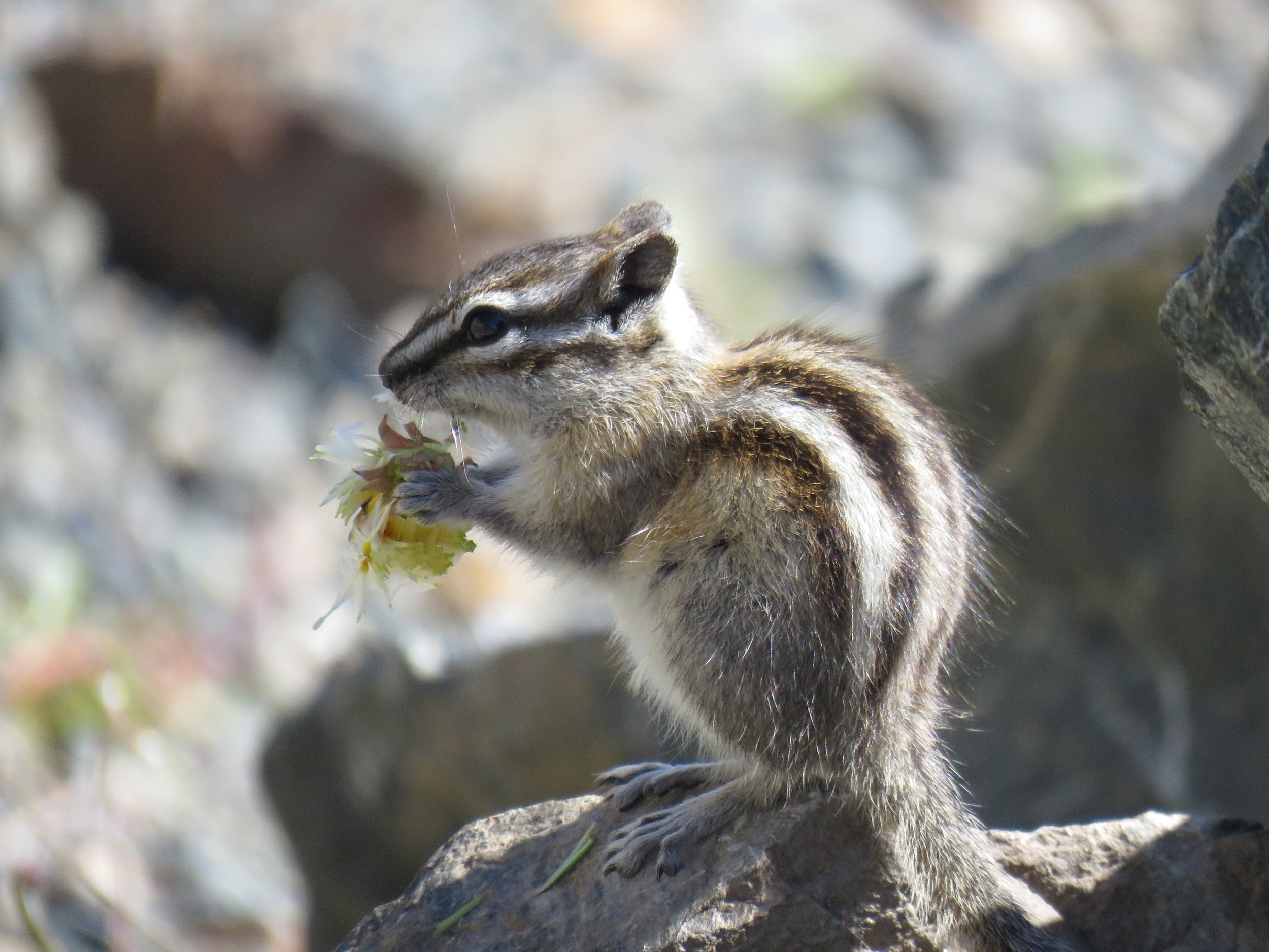
Pro-tip: Keep an eye open for wildlife during your travels. If you happen to be lucky enough to see some on your trip, maintain a safe distance. All of these animals have been spotted along this drive on the Klondike Highway.